
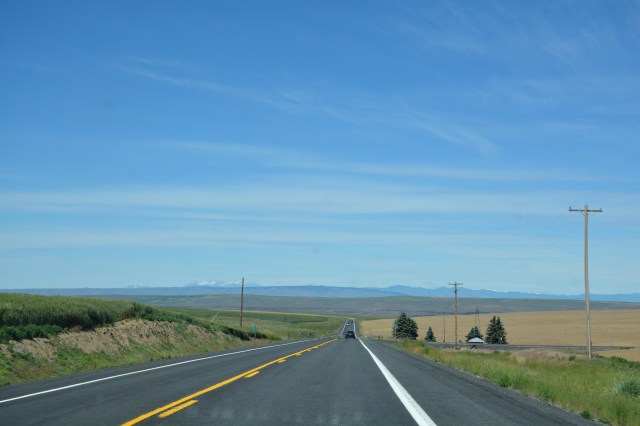
We traveled Highway 2 from Williston, North Dakota to Leavenworth, Washington, through all of Montana and skirting the southern horn of Glacier National Park. It’s known as the High-Line (Hi-Line) and was initially designed as Theodore Roosevelt International Highway, intended to connect Portland, Maine to Portland, Oregon via a short detour into Canada. In Springfield, we’re justifiably proud of our connection to Route 66 but, having traveled a significant portion of Route 66, I have to admit that Highway 2 is a much more authentic and original route. It’s primarily a two lane road and it traverses the northern states through mostly rural scenes. It’s a long way between towns and most of the towns it bisects are just wide spots in the road. Unlike 66, it hasn’t been subsumed by the interstate system and continues uninterrupted for hundreds (thousands?) of miles.
Leaving Glacier, we made a quick stop at Kootenai Falls where The River Wild and part of The Revenant were filmed. We couldn’t really get the full impact from the trail.


Highway 2 west of Spokane is fairly non-descript, mostly cropland with few cows and fewer houses. Then the landscape starts to roll and it becomes very arid with sagebrush and tumbleweeds and even some areas that look like badlands. This is not what I expected to find in Washington! I later learned that even more of the area had been desert-like until the construction of the Grand Coulee Dam and other dams in the area that provide irrigation for crop production. I had already expended my daily allotment of side trips so Sarah refused to take me to Grand Coulee Dam. Her reasoning was that I am “a planner, not an engineer.”
Road naming convention in this area of Washington state is very practical. The roads emanating off of Highway 2 are named sequentially by the alphabet and are either Northwest or Southwest depending on which side of the highway they are (i.e. Farm Road A Southwest). It seems like a very no-nonsense way of handling road naming in a rural area and probably speaks to the practical nature of the folks who live around there. On the other hand, elsewhere on 2 we saw some pretty good Americana. I particularly like how creative some folks are with their espresso huts.


Later in the day Highway 2 took another climb and then dropped down into the Wenatchee River valley and we were suddenly surrounded by orchards. This area claims to produce over half of the nation’s apples. They also produce cherries and apricots. The mountains surrounding the valley are pretty much treeless and look like the desert but the valley is filled with orchards. It’s a strange site. Some of the orchards had large sections completely covered with white mesh which added to the strangeness.

You know how sometimes you are driving along and see something that registers in your mind but you aren’t quick enough to capture it with a camera? As we entered the Wenatchee valley, we dropped down a hill and started round a curve with a farm in the inside of the curve. In the curve of the field there were four tractors lined up. They’d been haying and square hay bales dotted the field. It was unintentional artwork.
If you get a chance, ditch I-90 and take a cruise on Highway 2. Well worth the detour!
