
We entered Crater Lake National Park from the north and, if I have to complain about the National Park Service during its centennial year, it’s that they have assumed that all visitors to the Volcanic Legacy Parks (Rainier, Crater, Lava Beds, Lassen) will enter from the south. The visitor centers are all oriented south and, in most cases, the north entrance gates/ranger stations weren’t staffed so we couldn’t get a map till we were almost through the park. Cell service was universally bad so I couldn’t access the NPS website. I was very happy that I had Fodor’s National Parks of the West. It’s a great book – has park maps, information on hikes, scenic drives, etc. We would have been lost without it.
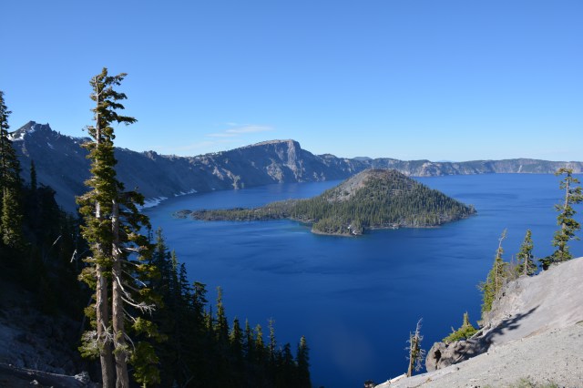
Even if you’ve seen the pictures, nothing quite prepares you for Crater Lake. It is such a deep blue and just incredibly scenic. Here are the stats: 1,943 feet deep surrounded by 2,000 foot cliffs. Sunlight penetrates to a depth of 400 feet. It’s the deepest and cleanest lake in the US and 9th deepest in the world. It was created when Mount Mazama erupted and then the mountain collapsed. The resulting caldera filled with rainwater and snowmelt and those are still the only sources. No creeks run into Crater Lake.
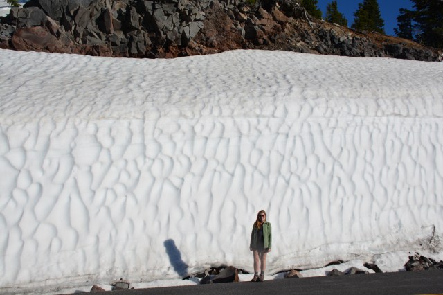
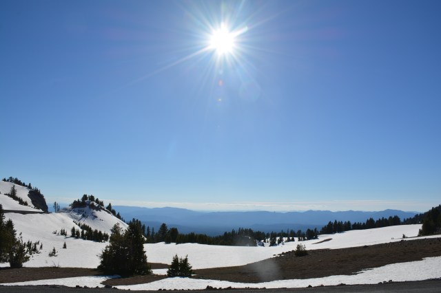
The lake is rimmed by a scenic drive but the east rim hadn’t been cleared yet. You can see from the pictures that there was still quite a bit of snow in places. Once the road opens, there’s an opportunity to take a Ranger – guided boat tour of the lake to Wizard Island but we were too early in the season for it.

It’s really beautiful – you should go see it yourself!


